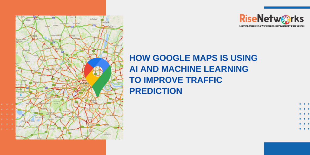
According to IANS, as people use Google Maps to travel over 1 billion kilometres in over 220 countries, the company is using artificial intelligence (AI) machine learning (ML) models to predict whether traffic along your route is heavy or light, an estimated travel time, and an estimated time of arrival (ETA).
Today, we’ll take a look at one of Google’s favourite subjects: traffic and routing. If you’ve ever wondered how Google Maps determines the optimal route for a journey or when there’s major traffic congestion, keep reading.
Live traffic from around the world, powered by drivers.
When consumers use Google Maps to navigate, they may use aggregate location data to assess traffic conditions on highways all across the world. However, while this information can help you figure out whether or not traffic congestion would affect your commute right now, it doesn’t account for what traffic will be like 10, 20, or even 50 minutes later. This is where technology can truly help.
Traffic prediction using advanced machine learning algorithms and a little history
Google Maps analyzes historical traffic patterns for routes over time to estimate how traffic will appear soon. For example, one pattern would suggest that motorists on the 280 freeway in Northern California regularly travel at 65 mph between 6-7 a.m. and 15-20 mph in the late afternoon. Then, using machine learning, we blend this database of past traffic patterns with current traffic circumstances to provide forecasts based on both sets of data.
To boost the accuracy of our traffic forecast capabilities, we have teamed with DeepMind, an Alphabet AI research centre. Our ETA estimates already have a very high accuracy bar–in fact, we can observe that our predictions are becoming better.
How Google Maps selects routes
Our predictive traffic models are also a key part of how Google Maps determines driving routes. If we predict that traffic is likely to become heavy in one direction, we’ll automatically find you a lower-traffic alternative. We also look at a number of other factors, like road quality. Is the road paved or unpaved, or covered in gravel, dirt or mud? Elements like these can make a road difficult to drive down, and we’re less likely to recommend this road as part of your route. We also look at the size and directness of a road—driving down a highway is often more efficient than taking a smaller road with multiple stops.
Two other sources of information are important to making sure we recommend the best routes: authoritative data from local governments and real-time feedback from users. Authoritative data lets Google Maps know about speed limits, tolls, or if certain roads are restricted due to things like construction or COVID-19. And incident reports from drivers let Google Maps quickly show if a road or lane is closed, if there’s construction nearby, or if there’s a disabled vehicle or an object on the road. Both sources are also used to help us understand when road conditions change unexpectedly due to mudslides, snowstorms, or other forces of nature.

